Menu
Philippine Standard Time:

Headlines

MGB ROXIII attends Orientation on Pre-Disaster Risk Assessment

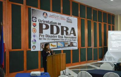
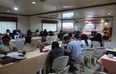
The Mines and Geosciences Bureau Regional Office No. XIII attended the Orientation on Pre-Disaster Risk Assessment (PDRA) for Five Component Cities of Caraga Region conducted by the Office of Civil Defense Caraga on September 2, 2016 at the Buenavista Hall of Almont Inland Resort in Butuan City. The orientation was attended by participants from the Cities of Bislig and Tandag, Surigao del Sur and the City of Cabadbaran, Agusan del Norte. During the first session of the orientation, an overview of the Pre-Disaster Risk Assessment (PDRA) was presented by Mr. Amado M. Posas, Chief of the Disaster Risk Reduction Management (DRRM) Division of OCD Caraga. Engr. Lita L. Vinalay, Chief Meteorological Officer of the Department of Science and Technology-Philippine Atmospheric, Geophysical and Astronomical Services Administration (DOST-PAGASA) Butuan Station, discussed the revised Tropical Storm Category while Engr. Noel Ajoc of DOST Caraga explained the work and activities of their office and continue reading : MGB ROXIII attends Orientation on Pre-Disaster Risk Assessment
MGB ROXIII continues IEC Campaign of 1:10,000 scale geohazard maps

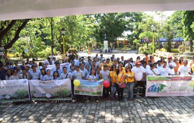
The Mines and Geosciences Bureau Regional Office No. XIII continued its Information, Education and Communication (IEC) Campaign of the 1:10,000 scale geohazard maps and the presentation of the highlights of the Results of the 1:10K Geohazard Mapping and Assessment in the Provinces of Agusan del Norte, Agusan del Sur and Surigao del Norte from July to August 2016. A total of two hundred fifteen (215) barangays, six (6) municipalities and two (2) cities were covered by the IEC Campaign on the following dates: Thirty-one (31) barangays of Cabadbaran City, ADN – July 14-15, 2016 Twenty (20) barangays of Del Carmen, Siargao – August 1, 2016 Islands, SDN Twenty-nine (29) barangays of Dapa, Siargao – August 2, 2016 Islands, SDN Nineteen (19) barangays of General Luna, Siargao – August 3, 2016 Islands, SDN Fourteen (14) barangays of Socorro, SDN – August 4, 2016 Forty-three (43) barangays of Bayugan City, ADN – continue reading : MGB ROXIII continues IEC Campaign of 1:10,000 scale geohazard maps

MGB ROXIII conducts Coastal Geohazard Mapping and Assessment

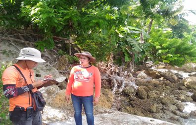
After the completion of the geohazard mapping and assessment of landslide and flood-prone areas, the Mines and Geosciences Bureau is now conducting the geaohazard mapping and assessment of the country’s coastal areas. A team of geologists and mapper from the Geosciences Division of MGB Regional Office No. XIII conducted the Coastal Geohazard Mapping and Assessment from July to August 2016 in southern coastal municipalities in the Province of Cebu as assigned by MGB Central Office. The fieldwork was divided in two phases. Five municipalities were covered during Phase 1 which was conducted from July 6-25, 2016 while four municipalities were covered during Phase 2 which was carried out from August 11-30, 2016. During the 1st phase of the fieldwork, the team assessed the coastal municipalities of Boljoon, Oslob, Santander, Ginatilan and Malabuyoc. The coastal areas in the Municipalities of Alegria, Badian, Moalboal and Alcantara were surveyed during the 2nd phase continue reading : MGB ROXIII conducts Coastal Geohazard Mapping and Assessment

MGB ROXIII participates in DOST-NAST Training-Workshop on Writing and Pres...

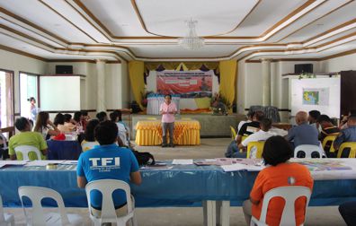
Personnel of the Mines and Geosciences Bureau Regional Office No. XIII participated in the Training-Workshop on Writing and Presenting Research Proposals Towards Building Science Culture in Caraga Region conducted by the Department of Science and Technology Caraga, National Academy of Science and Technology and Outstanding Young Scientists, Inc. on July 28 to 29, 2016 at the Balanghai Hotel and Convention Center in Butuan City. In line with the project entitled Evaluation and Improvement of the Research Publication and IP Productivity of the DOST Research and Development Institutes funded by the Department of Science and Technology and initiated by the National Academy of Science and Technology, the training-workshop was attended by representatives of government agencies and various academes. The first day of the training-workshop commenced with an opening ceremony wherein the Regional Director of the Department of Science and Technology Regional Office No. XIII, Dir. Dominga D. Mallonga, welcomed the participants continue reading : MGB ROXIII participates in DOST-NAST Training-Workshop on Writing and Presenting Research Proposals Towards Building Science Culture in Caraga Region

MGB ROXIII attends Orientation on Pre-Disaster Risk Assessment

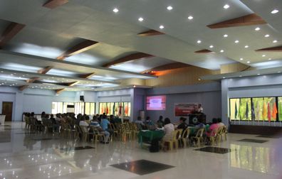
The Mines and Geosciences Bureau Regional Office No. XIII attended the Orientation on Pre-Disaster Risk Assessment (PDRA) for Five Component Cities of Caraga Region conducted by the Office of Civil Defense Caraga on September 2, 2016 at the Buenavista Hall of Almont Inland Resort in Butuan City. The orientation was attended by participants from the Cities of Bislig and Tandag, Surigao del Sur and the City of Cabadbaran, Agusan del Norte. During the first session of the orientation, an overview of the Pre-Disaster Risk Assessment (PDRA) was presented by Mr. Amado M. Posas, Chief of the Disaster Risk Reduction Management (DRRM) Division of OCD Caraga. Engr. Lita L. Vinalay, Chief Meteorological Officer of the Department of Science and Technology-Philippine Atmospheric, Geophysical and Astronomical Services Administration (DOST-PAGASA) Butuan Station, discussed the revised Tropical Storm Category while Engr. Noel Ajoc of DOST Caraga explained the work and activities of their office and continue reading : MGB ROXIII attends Orientation on Pre-Disaster Risk Assessment

MGB ROXIII continues IEC Campaign of 1:10,000 scale geohazard maps

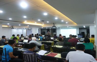
The Mines and Geosciences Bureau Regional Office No. XIII continued its Information, Education and Communication (IEC) Campaign of the 1:10,000 scale geohazard maps and the presentation of the highlights of the Results of the 1:10K Geohazard Mapping and Assessment in the Provinces of Agusan del Norte, Agusan del Sur and Surigao del Norte from July to August 2016. A total of two hundred fifteen (215) barangays, six (6) municipalities and two (2) cities were covered by the IEC Campaign on the following dates: Thirty-one (31) barangays of Cabadbaran City, ADN – July 14-15, 2016 Twenty (20) barangays of Del Carmen, Siargao – August 1, 2016 Islands, SDN Twenty-nine (29) barangays of Dapa, Siargao – August 2, 2016 Islands, SDN Nineteen (19) barangays of General Luna, Siargao – August 3, 2016 Islands, SDN Fourteen (14) barangays of Socorro, SDN – August 4, 2016 Forty-three (43) barangays of Bayugan City, ADN – continue reading : MGB ROXIII continues IEC Campaign of 1:10,000 scale geohazard maps

Updates

2016 Environment Month Celebration: Going the extra mile in intensifying environmental preservation

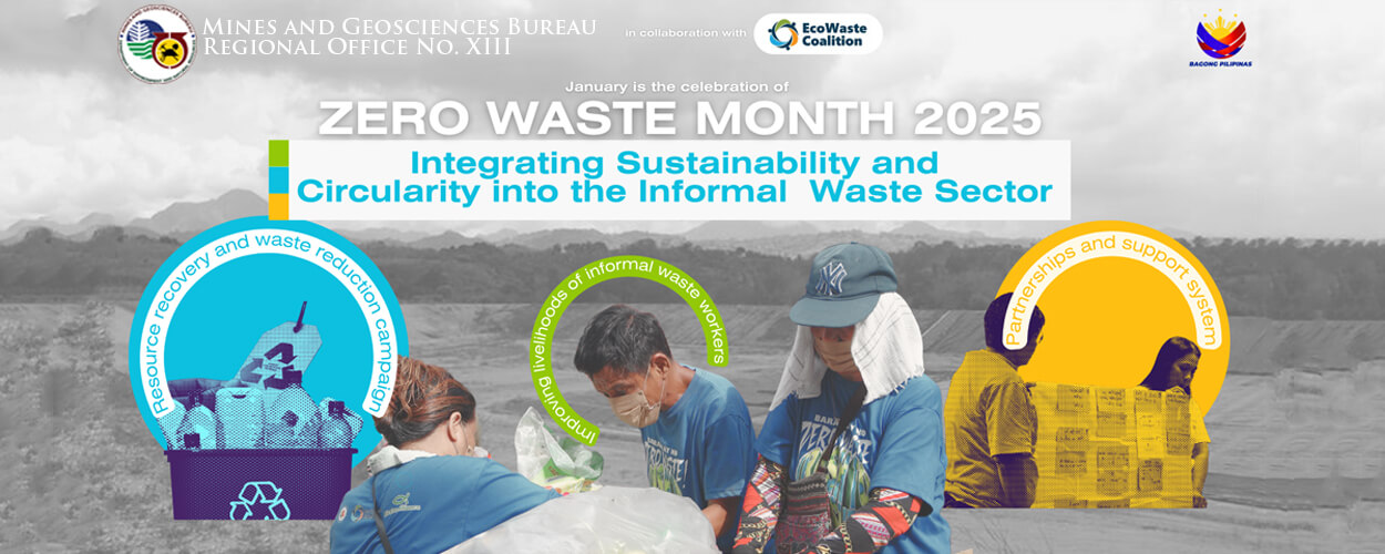
The Mines and Geosciences Bureau Regional Office No. XIII, in partnership with the Caraga Mine Environmental Management Council (CMEMC), went the extra mile in the celebration of the 2016 Environment Month by conducting a series of activities on June 13-17 and 29-30, 2016. The lined-up activities aimed to intensify public awareness of environmental preservation and instill in the participants from mining companies and host communities a sense of accountability as stewards of the environment. The Holy Mass at San Nicolas de Tolentino Cathedral, Motorcade within Surigao City and Opening Program at the Surigao City Luneta Park on June 13, 2016 marked the kick-off of the succeeding activities leading to the culmination on June 30, 2016. A total of 22 mining companies, employees from the Mines and Geosciences Bureau ROXIII, Provincial Environment and Natural Resources Office (PENRO), Community Environment and Natural Resources Office (CENRO) and City Environment and Natural Resources Office continue reading : 2016 Environment Month Celebration: Going the extra mile in intensifying environmental preservation
MGB ROXIII IEC Campaign on 1:10, 000 scale geohazard maps: Promoting a Culture of Safety

The Mines and Geosciences Bureau Regional Office No. XIII commenced its Information, Education and Communication (IEC) Campaign of the 1:10, 000 scale geohazard maps and the presentation of the highlights of the Results of the 1:10K Geohazard Mapping and Assessment in the whole Province of Dinagat Islands and part of the Province of Agusan del Norte last May 31, 2016 to June 10, 2016 and June 22-24, 2016.  A total of two hundred thirty (230) barangays and nine municipalities and one (1) city were covered by the IEC Campaign on the following dates: Twenty-five (25) barangays of Basilisa, PDI               June 6, 2016 Fourteen (14) barangays of Cagdianao, PDI               June 4, 2016 Twelve (12) barangays of Dinagat Islands, PDI          June 1, 2016 Fifteen (15) barangays of Libjo, PDI           continue reading : MGB ROXIII IEC Campaign on 1:10, 000 scale geohazard maps: Promoting a Culture of Safety

MGB conducts Training on Web Migration and Development Using Joomla 3.0X Web Template

Pursuant to DENR Administrative Order No. 39 which mandates government agencies to migrate to the Government Web Hosting Service (GWHS) of the Department of Science and Technology-Information and Communications Technology Office (DOST-ICTO), the Mines and Geosciences Bureau conducted the Training on Web Migration and Development Using Joomla 3.0x Web Template on May 24 to 27, 2016 at the Icon Hotel in Quezon City which was attended by regional Information Technology Officers and their alternate representatives. The training started with a short program wherein the Assistant Director, Atty. Danilo U. Uykieng, welcomed the participants with inspiring words. “The website is the office itself because it will introduce us to the public we serve to show that the MGB is effective and efficient in the delivery of public service.  The website will help educate the public on what we do and the services we provide.  It will help us to promote who continue reading : MGB conducts Training on Web Migration and Development Using Joomla 3.0X Web Template

MGB ROXIII-GSD team conducts Geologic Quadrangle Mapping

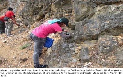
In line with this year’s target of the Mines and Geosciences Bureau, personnel of MGB ROXIII-Geosciences Division participated in the Workshop on the Standardization of Methodologies for the Geologic Quadrangle Mapping of Region 3 conducted by MGB Central Office on March 7 to 10, 2016 at the Contemporary Hotel in Manila. The workshop aimed to standardize the methodologies to be used and discuss the necessary procedures to be done such as rock sampling and appropriate map symbols. Every team (ROs and CO) was given 2 quadrangles  ̶̶̶̶  one raw quad and another quad for updating. The four-day workshop included presentations of various resource speakers and selected MGB technical personnel. Discussions and agreements on the standard methods were made during the workshop. On the fourth day, a field practice was conducted in Tanay, Rizal. After the workshop, the teams proceeded to their assigned areas. The MGB ROXIII-GSD team mapped the Malolos continue reading : MGB ROXIII-GSD team conducts Geologic Quadrangle Mapping

MGB ROXIII-GSD personnel conduct Vulnerability and Risk Assessment, Groundwater Resource Assessment and Geohazard Identification Survey

Personnel of the Geosciences Division of Mines and Geosciences Bureau Regional Office No. 13 conducted the Vulnerability and Risk Assessment, Groundwater Resource Assessment and Geohazard Identification Survey on April 14 to 30, 2016 in the Province of Surigao del Sur. On April 14, 2016, the GSD team paid a courtesy call on the Local Government Unit of Bislig City to inform the officials that they will conduct the Vulnerability and Risk Assessment and Geohazard Identification Survey in a subdivision by the National Housing Authority (NHA). The team and the City Disaster Risk Reduction Management Officer, Mr. Orbele A. Carmen, produced a schedule of target barangays per working day. The geologists and geologic mappers also met with Engr. Jovino J. Requina, Jr., City Engineer, to discuss about the Geohazard Survey request for NHA Bayside Subdivision Housing (Phase II). The team was divided into 3 groups. One group conducted the geohazard survey continue reading : MGB ROXIII-GSD personnel conduct Vulnerability and Risk Assessment, Groundwater Resource Assessment and Geohazard Identification Survey