The Marine Geological Survey Division (MGSD) of the Mines and Geosciences Bureau Central Office conducted a Seminar-Workshop on Strategic Planning for Marine Geological Survey and Research on January 22-26, 2018 at the Bali Village Hotel Resort in Tagaytay City. The said activity was participated by representatives of all Regional Offices. Two geologists from MGB Regional Office No. XIII Geosciences Division took part in the seminar-workshop. The activity started with a program wherein Engr. Glenn Marcelo C. Noble, Chief of Planning, Policy and International Affairs Division of MGB Central Office, delivered his opening remarks followed by the discussion of Philippine Development Plan (PDP), General Appropriations Act (GAA), Program Expenditure Classification (PRExC) and National Expenditure Program (NEP). On the second day of the seminar-workshop, the discussion was about Project Life Cycle. Engr. Noble explained the stages of a project from Situation Analysis Stage all through the end stage which is the Project continue reading : MGB conducts Strategic Planning for Marine Geological Survey and Research
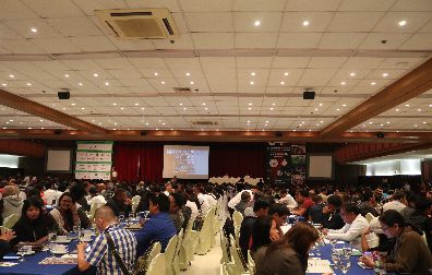
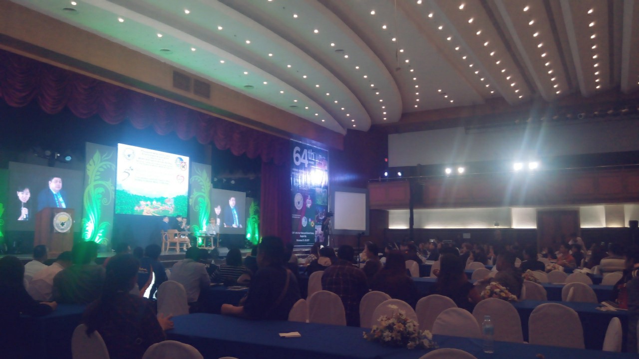
The Mines and Geosciences Bureau Regional Office No. XIII and Caraga mining firms took part in the Minerals Industry Symposium on November 23, 2017 at the CAP-John Hay Trade and Cultural Center in Baguio City. The symposium was one of the primary activities held during the 64th Annual National Mine Safety and Environment Conference (ANMSEC) on November 21-24, 2017. The ANMSEC is a yearly gathering of mining firms in the country wherein the best practices in the industry’s social development, environmental protection and enhancement management and safety programs are highlighted and recognized. The theme of the 64th ANMSEC is Responsible Mining… In the Hearts and Minds of Filipinos. This year’s symposium was a stimulating venue for more than 900 mining stakeholders who were updated on the latest developments in the fields of mining and geosciences. The symposium was graced by the Representative of the Lone District of Kalinga, continue reading : MGB RXIII and Caraga mining firms take part in the 64th ANMSEC Minerals Industry Symposium

