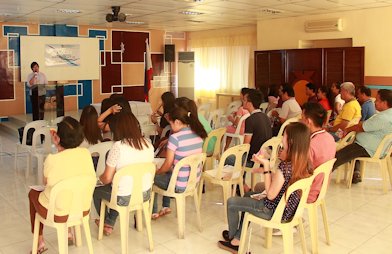
In keeping with the GAD Program and Initiatives of the National Government, the Mines and Geosciences Bureau Regional Office No. XIII conducted the Forum on Anti-Sexual Harassment Act of 1995 on May 8, 2018 at the MGB RXIII Training Center in Surigao City. The MGB RXIII Gender and Development Focal Point System organized the said in-house forum which was attended by the employees. Ms. Florian T. Trinidad, Provincial GAD Focal Person and Officer-in-Charge of Provincial Center for Women’s Training and Development of Surigao del Norte, took part in the forum as the Resource Speaker. She gave a comprehensive presentation on the Anti-Sexual Harassment Act of 1995. Ms. Trinidad has been in government service for 20 years. After having obtained intensive trainings and gained expertise from the Philippine Commission on Women (PCW) from 2012-2016 during the strengthening of the PCW-AECID (Agencia Española de Cooperacion Internacional para el Desarollo) Project on the continue reading : MGB RXIII conducts GAD Forum on RA 7877
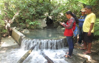
The Mines and Geosciences Bureau Regional Office No. XIII carried out the Groundwater Resource Mapping and Assessment in the Municipalities of General Luna and San Benito, Siargao Islands, Province of Surigao del Norte on April 18 to May 5, 2018. The said assessment was conducted by a team of geologists, cartographer and on-the-job trainees from Negros Oriental State University. The activity aims to establish the geology of the area and determine the general groundwater resource potential of the different lithologic units. It also aims to assess the vulnerability factors that could affect the water quality of the existing water supply sources in the study area and to identify possible areas for development and future extraction. As for the mapping aspect of the activity, it was composed of an inventory of the existing groundwater resources (e.g. springs and wells) of each barangay within the municipality; identification of the lithologic unit and continue reading : MGB RXIII carries out Groundwater Resource Mapping and Assessment on Siargao Islands
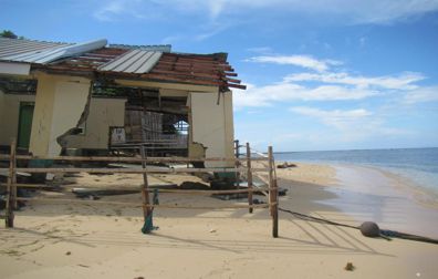
The Mines and Geosciences Bureau Regional Office No. XIII conducted the Vulnerability and Risk Assessment (VRA) on April 16 to 30, 2018 in the Municipalities of Marihatag, Cagwait and Bayabas, Province of Surigao del Sur. The said assessment was conducted by a team of geologists and an on-the-job trainee from Negros Oriental State University. The team formed two groups that were assigned in every barangay to perform geotagging in order to tag the essential landmarks such as barangay halls, health centers, schools, multi-purpose buildings, purok centers and other establishments per purok, district or sitio in all barangays of the aforementioned municipalities. The purpose of tagging landmarks or establishments is to get their exact global positioning system (GPS) coordinates and plot them on the map. Moreover, building materials and road networks were noted for data gathering. The threat of any hazard or element of risk to landslide or flooding within those continue reading : MGB RXIII conducts Vulnerability and Risk Assessment in Surigao del Sur